
Coastal Carolinas Building Guides
A regional starting point for permit research, flood and wind questions, stormwater coordination, and coastal project due diligence in the Carolinas.
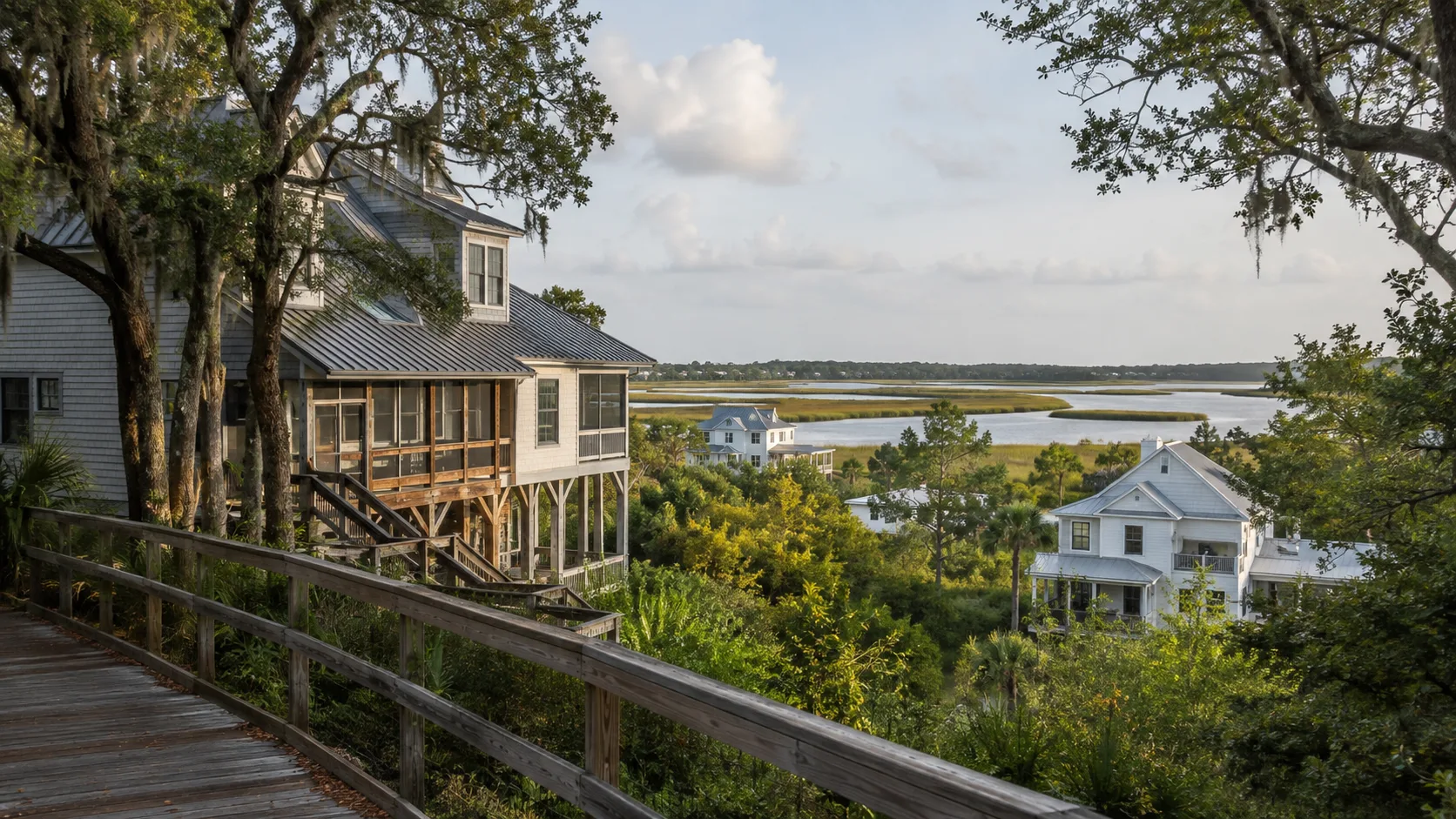
Begin with the parcel and jurisdiction
A postal address does not always tell you which agency controls zoning, building permits, floodplain administration, utilities, or stormwater. Confirm whether the parcel is inside a municipality or unincorporated county area, then use that jurisdiction’s official sources.
Assemble a regional due-diligence file
- Parcel identification and recorded survey.
- Governing municipality or county.
- Zoning and overlay information.
- Current official flood map information and required elevation documentation.
- Adopted building-code editions and amendments.
- Wind and exposure design criteria confirmed by the design team.
- Water, sewer, septic, driveway, and utility constraints.
- Stormwater, grading, tree, dune, wetland, or coastal-area requirements as applicable.
- Permit submittal checklist and agency contacts.
- Inspection sequence and required closeout documents.
Horry County starting points
For property in Horry County, use the county’s official site and current residential-construction materials as the starting point. The county also publishes stormwater permitting information. Requirements and forms can change, so do not rely on an old downloaded checklist without reconfirming it.
Translate regional findings into design
Flood and wind information must influence foundation, elevation, structure, roof, openings, utilities, and material exposure. Stormwater and site constraints can affect building placement before the floor plan is finalized. Connect the findings to the coastal building guide and document them in the construction planning process.
Questions to ask local officials
- Which office has authority over this parcel?
- Which code editions and local amendments are currently adopted?
- What floodplain documents are required for permit and closeout?
- Are separate zoning, stormwater, driveway, utility, or coastal approvals required?
- Which inspections must occur before work is concealed?
- Where are current forms, fee schedules, and submittal instructions published?
Record the date and source of each answer. Regional guidance ages quickly; a dated source trail makes later verification much easier.
Treat the region as a research context
The Carolina coast contains many different jurisdictions and site conditions. A regional guide can organize the questions, but it cannot determine what applies to a particular lot. Begin with the parcel identifier and exact governing authority. Then establish which agency controls each decision: zoning, building, floodplain, stormwater, utilities, access, and any coastal or environmental approval relevant to the site.
A mailing address can create false confidence. A property associated with a familiar town name may require county review for one matter and a different agency for another. Record the official answer and its date. The useful output is a project-specific authority list, not an assumption that neighboring properties use the same process.
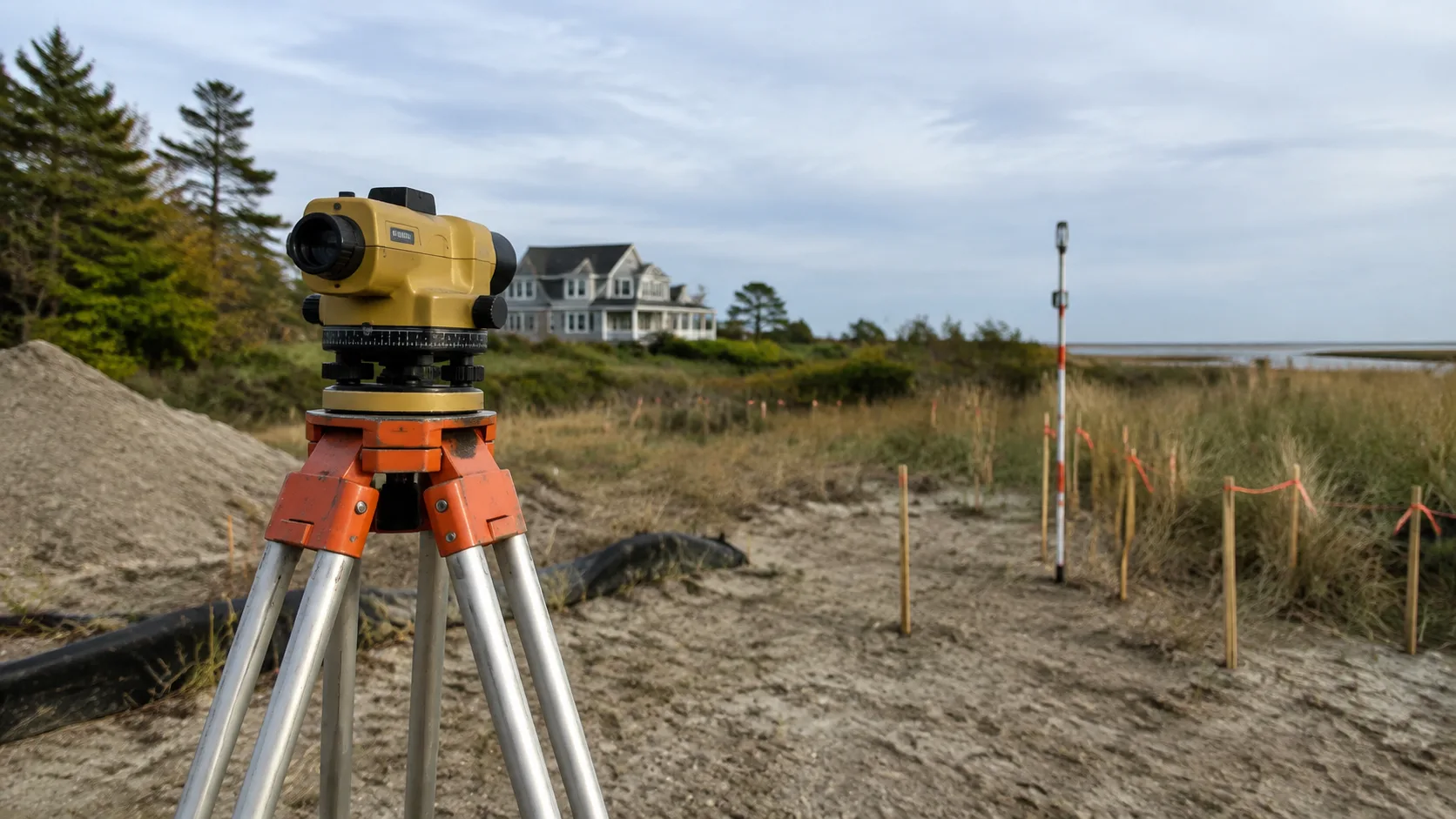
Create an agency matrix
Set up a table with the decision, responsible agency, official information page, required submission, reviewer or contact role, and current status. Include a column for unresolved questions. This simple record prevents permit research from becoming a collection of disconnected emails and downloaded forms.
For a project in Horry County, the official Code Enforcement page is a useful starting point for building-related research. Use the current official site to find the applicable instructions and verify whether a separate municipality is responsible for the parcel. Confirm the code edition, fees, review process and design criteria for the identified parcel with the responsible authority.
Keep zoning and construction approval distinct
A project can satisfy one review while still needing another. Ask separately about allowed use, setbacks, height, lot coverage, access, and any overlay constraints, then about construction documents and inspections. Do not interpret acceptance of a sketch by one office as authorization for every part of the project.
The same separation helps the design team. If a zoning issue limits the footprint, the architect needs that information before refining room arrangements. If a floodplain requirement affects elevation, the structural and access designs may also change. Put these dependencies in the construction planning process so research has a clear effect on design releases.
Research flood conditions at the parcel scale
Obtain current official mapping information and have the responsible professionals identify the elevations and references needed for the project. Record the map panel, effective date, relevant determination, and survey datum. Keep preliminary and effective information clearly labeled rather than blending them into one undated screenshot.
Use the flood-zone construction guide to prepare questions about foundation, lower-area uses, equipment location, and construction-stage documentation. The purpose of this regional step is to connect official findings with the project, not to estimate a finished-floor elevation from a web map.
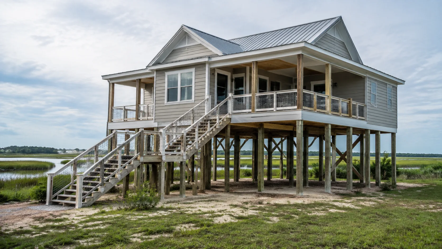
Coordinate utilities and access early
Ask the appropriate providers about water, sewer, electrical service, and any site-specific connection conditions. Where on-site systems are proposed, identify the responsible approval process and investigations. Confirm how construction vehicles and permanent occupants will access the property. These matters can affect placement, sequencing, and cost before the house design is complete.
Document what is confirmed and what remains a proposal. A utility line shown nearby does not by itself establish available capacity, an approved connection, or the owner’s connection cost. Request the provider’s current requirements and track any design, easement, or installation work needed before service becomes usable.
Bring drainage into the first site plan
A conceptual site plan should consider how roof water, surface runoff, drives, grading, and neighboring elevations interact. Ask which stormwater or grading reviews apply. Coordinate these questions before locating outdoor equipment, retaining walls, or landscape features that might obstruct planned water paths.
Do not treat drainage as landscaping added at the end. Its interfaces with foundations, access, and utilities belong in the design conversation. A civil professional may be needed depending on the site and scope. The coastal building guide explains why wind, flood, rain, and ground conditions should be reviewed as a connected set.
Establish a dated design basis
Once research progresses, ask the project team to prepare a concise design-basis record. It should identify the governing requirements and the project inputs used by each discipline. Include the applicable code information confirmed by the responsible authority, flood references, wind design inputs, survey information, and site investigations where relevant.
The record should distinguish an official requirement from an owner preference or voluntary performance goal. If the owner wants additional resilience, state that separately and have the team explain its design implications. This prevents a desired feature from being misreported as a universal local requirement or a minimum requirement from being treated as optional.
Organize permit documents as a coordinated package
Before submission, check whether drawings, survey, calculations, forms, and supporting product documents describe the same project. Look for inconsistent addresses, parcel identifiers, elevations, room layouts, and revision dates. A complete-looking package can still be internally inconsistent if separate contributors used different versions.
Name the person coordinating review comments. Keep each comment, response, revised document, and resubmission status together. When a revision affects another discipline, confirm that its documents are updated too. The custom home guide provides a broader design and procurement sequence that can help prevent premature purchasing while important review questions remain open.

A hypothetical coastal lot research exercise
Consider an owner comparing two undeveloped lots advertised under the same coastal community name. One has better documented utility access; the other appears easier to reach but has incomplete elevation information. Instead of choosing from photographs alone, create the same due-diligence checklist for both.
Request jurisdiction confirmation, surveys, official flood information, utility requirements, and any known access or environmental constraints. Label missing information as unresolved rather than favorable. Then ask the design team which uncertainties could materially change the budget or building concept. Compare the documented constraints alongside the household’s needs and budget before selecting a lot.
Track inspections and certificates before construction
Ask the responsible authority which inspections and supporting records are required, when they occur, and how they are requested. Incorporate construction-stage surveys or professional observations where applicable. The builder’s schedule should allow time for those dependencies before work is concealed.
Keep official approvals distinct from voluntary quality reviews. An owner may request additional documentation or testing, but the team should identify what each review establishes. Retain the final records with the property information so future buyers, insurers, designers, and maintenance providers have a reliable starting point appropriate to their roles.
Account for the regional operating environment
A coastal home is also an operating responsibility. Discuss storm preparation, seasonal occupancy, humidity control, drainage maintenance, exterior access, and corrosion-related inspections with the project team. A rarely occupied house may need a different monitoring arrangement from a full-time residence even when the building assemblies are similar.
The hurricane construction guide organizes wind-related questions, while moisture control explains enclosure and equipment coordination. Use those guides to translate the regional setting into specific design and maintenance decisions instead of relying on a generic coastal label.
Keep regional advice current
Set a review reminder for time-sensitive official links and requirements. Recheck before a property purchase, a permit submission, or a material project change. Retain earlier versions as history, but clearly identify the information currently being used.
If two sources appear inconsistent, record the exact question and ask the responsible authority to resolve it for the parcel. Do not choose the more convenient interpretation or assume an old downloaded form controls. This habit makes regional guidance useful over time while respecting the limits of a general publication.
Compare these regional hazard checks with our Structural Framing & Foundations guide and Exterior Siding & Roofing guide.
Primary Sources & Code References
- Code Enforcement Horry County, South Carolina · reviewed September 5, 2026
- Horry County Government Horry County, South Carolina · reviewed August 29, 2026
- Residential Construction Brochure Horry County, South Carolina · reviewed August 29, 2026
- FEMA Hazard Products Direct Download FEMA · reviewed August 29, 2026
Related Engineering Guides
Coastal Building Guide
A practical starting point for planning durable homes in hurricane, flood, salt-air, and hot-humid coastal conditions.
Read technical guide Construction Planning Guide
Practical tools for defining scope, comparing bids, managing decisions, documenting changes, and closing out a residential project.
Read technical guide
Custom Home Building Guide
A decision-first guide to defining scope, selecting a team, controlling allowances, and planning a durable custom home.
Read technical guide